Spatial Data Fundamentals in R


July 17, 2025
Andy Lyons

https://ucanr-igis.github.io/SpatialDataFundamentals_Jul25/

Start Recording


About Me…

IGIS Team

Some of My R Work

degday

Compute degree days in R
https://ucanr-igis.github.io/degday/


uasimg

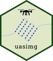
Data management utilities for drone mapping
https://ucanr-igis.github.io/uasimg/


caladaptR

Bring climate data from Cal-Adapt into R using the API
https://ucanr-igis.github.io/caladaptr/


T-Locoh

Homerange and spatial-temporal pattern analysis for wildlife tracking data
http://tlocoh.r-forge.r-project.org/


Shiny Apps

Chill Portions Under Climate Change Calculator
https://ucanr-igis.shinyapps.io/chill/

Drone Mission Planner for Reforestation Monitoring Protocol
https://ucanr-igis.shinyapps.io/uav_stocking_survey/

Stock Pond Volume Calculator
https://ucanr-igis.shinyapps.io/PondCalc/

Pistachio Nut Growth Calculator
https://ucanr-igis.shinyapps.io/pist_gdd/

About You…

I’m already good at GIS.
Why should I learn R?

R - GIS Integration

GIS is no longer one thing!


‘Either-or’ is not the best way to to think about your options


A better question:


How to combine R with desktop GIS and cloud GIS?

Roles that R can play


Where R shines


Integrating R and GIS


R and Python

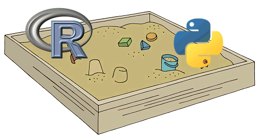
R and Python actually play very well together:

Importing and Plotting Vector Data

https://ajlyons.github.io/rspatial_bgs24/slides/importing-vector.html

Why do I need to learn this?
Can’t ChatGPT write my code for me?

Learning R with GenAI


https://www.tidyverse.org/blog/2025/04/learn-tidyverse-ai/

Highlights


Suggestions for Using ChatGPT to Learn R


Other Tips


What are your best practices?

Additional Resources

Geocomputation with R: https://r.geocompx.org/


Many others: https://ajlyons.github.io/rspatial_bgs24/resources.html


Part 2

Part 3